Der Eintrag
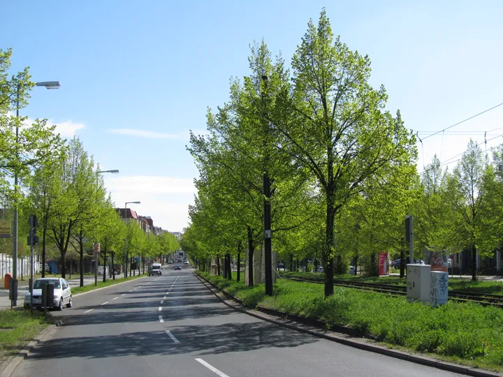
Der Ort, an dem sich die Mauer tatsächlich öffnete: der erste Schlagbaum, der am 9. November 1989 hochgezogen wurde, mit einem Abschnitt der Hinterlandmauer und dem Fundament des Wachturms, die stehen geblieben sind.
Die ausführliche Geschichte, die Herkunft und die Quellenangaben dieses Eintrags liegen bislang nur auf Englisch vor.
Of the seven crossing points inside the city this was the furthest north, officially designated for West German citizens entering East Berlin. It is also where the Wall opened. After West German television carried Günter Schabowski's announcement of new travel rules on the evening of 9 November 1989, East Berliners gathered at the checkpoints; the pressure here broke first, the guards raised the barrier, and in the following hour roughly twenty thousand people crossed the Bösebrücke without anyone checking a document.
That makes this the single most consequential address in the entire catalogue, and it is worth noticing how little of it is left. What survives in place is a section of the hinterland wall that enclosed the crossing, and the foundation of the guard tower — no more. The rest of the story is told by the Platz des 9. November 1989, laid out at the eastern bridgehead and opened to the public on 9 November 2011: an open-air exhibition on the crossing and its history, metal reliefs set into the ground running the events of that night from Schabowski's press conference to the first barrier going up, three rotating illuminated panels, the Mind the Gap installation, and plaques on the bridge itself. An ecumenical service is held here every 9 November.
The Landesdenkmalamt lists the surviving hinterland wall on Bornholmer Straße as a protected monument and describes it simply as a witness to the events of 9 November 1989. Its page for the site quotes a resident interviewed by Der Spiegel two weeks afterwards, who had already gone to bed when his wife came back from walking the dog and told him everyone was going over to the west.
Wie kam es hierher?
In place. The surviving hinterland wall and the guard tower foundation are protected as a listed monument; the memorial square was opened on 9 November 2011.
Quellen
Border Crossing Bornholmer Straße — Berlin Wall Foundation ↗
Bornholmer Straße as the northernmost of seven city crossings and its designation for West German citizens, the events of 9 November 1989 and the roughly 20,000 people who crossed the Bösebrücke unchecked within the hour, the preserved section of the inner security wall, the Platz des 9. November 1989 and its outdoor exhibition, the timeline set into the ground, the Mind the Gap installation and the plaques on the bridge, and the annual ecumenical service.
Institutionelle QuelleQuelle abgerufen am 2026-09-17
Bornholmer Straße — Landesdenkmalamt Berlin, Wall monuments ↗
The hinterland wall on Bornholmer Straße as a listed monument and witness to the events of 9 November 1989, with the Der Spiegel resident's account.
Institutionelle QuelleQuelle abgerufen am 2026-09-17
Der Platz des 9. November 1989 — Bezirksamt Pankow ↗
The square opened to the public on 9 November 2011 at the eastern bridgehead, the topics of the open-air exhibition, the metal reliefs in the ground, the three rotating illuminated panels, and the preserved section of hinterland wall and guard tower foundation.
Institutionelle QuelleQuelle abgerufen am 2026-09-17
Wissen Sie mehr über dieses Stück – wann es ankam, wer es gab, was auf der Tafel steht? Zu diesem Eintrag beitragen (Englisch)